Main Mobile Menu
Shop categories
- Buyers Show
- Dealer Login
- Login
- Camping
- Outdoor Gear
- Camping Accessories | C71
- Camping Bedding | C09
- Camping Tools | C69
- Furniture & Hammocks | C01
- Tarps, Tents, Shelters | C05
- Flashlights & Lanterns | C21
- Fuels & Matches | C33
- Campfire Items & Starters | C37
- Camp Books | C75
- Ropes, Cords, Tiedowns | C65
- Pet Supplies | H10
- Hiking
- Hiking Gear | C61
- Packs & Bags | C29
- Rainwear | C25
- Insect Control | C57
- Ropes, Cords, Tiedowns | C65
- Picnicing
- Blankets Bajas & Pillows | C13
- Batteries | E07
- Drinkware | C51
- Knives | E17
- Coolers & Thermals | C53
- Picnic Products | C47
- Patio Lights & Accessories | R01
- Outdoor Cooking
- Camp Cookware | C45
- Campfire Cooking | C41
- Campfire Items & Starters | C37
- Fuels & Matches | C33
- Propane Cooking & Lighting | C17
- Knives | E17
- BBQ Supplies | C43
- Camp Books | C75
- RV
- RV Necessities
- RV Accessories | R25
- Leveling Towing | R33
- RV Cleaning Products | R17
- RV Electrical | R21
- RV Parts & Maintenance | R29
- Automotive | H23
- Sewer Products | R09
- Toilet Chemicals & Tissue | R07
- Drinking Water Hoses & Acc | R13
- Setting Up the Campsite
- Patio Lights & Accessories | R01
- Furniture & Hammocks | C01
- Ground Cover & Mats | R05
- Camping & RV Gifts
- Camping & RV Gifts | G73
- Smore Gifts | G74
- Signs & Plaques | G47
- Southwest/RV Collection
- Buffalo Plaid Collection
- Home Is Where You Park It
- Smore Collection
- Vehicles & Die Cast | P29
- Housewares
- Kitchen Utensils | H01
- Drinkware | C51
- Brooms & Cleaning | H09
- Laundry Products | H13
- Household Electric | H19
- Other Household Items | H11
- Hardware Products | H15
- Fishing
- Candy & Snacks
- Summer Fun
- Beach
- Footwear | S13
- Sunglasses | E05
- Outdoor Fun & Sport Items | S21
- Flags | S25
- Suntan Lotion | E03
- Light Up Fun | N01
- Hats & Bandanas | N09
- Water Guns, Water Bombs | P05
- Sand Toys | P09
- Beach Towels | S17
- Inflateables, Tubes, Rafts | S01
- Goggles, Masks & Fins | S09
- Tubes, Towables, Preserv | S05
- Beach
- Fishing Accessories | F09
- Lures | F11
- Nets | F05
- Rod & Reel Combos | F01
- Tackle | F13
- Knives | E17
- Flashlights & Lanterns | C21
- Batteries | E07
- Rainwear | C25
- Insect Control | C57
- Coolers & Thermals | C53
- Sunglasses | E05
- Toys
- Jewelry & Novelties | N17
- Light Up Fun | N01
- Squishy, Reptiles & Bugs | P21
- Water Guns, Water Bombs | P05
- Stuffed Animals | G61
- Action Figures | P33
- Activity Books | P47
- Bubbles, Traditional Toys | P55
- Camper Toys | P31
- Cap Guns, Caps | P01
- Dolls, Fashion & Glitter | P37
- Guns & Action Toys | P03
- Sand Toys | P09
- Wood Gifts | G51
- Games & Gags
- Jokes & Tricks | N03
- Games | P41
- Playing Cards| E13
- Activity Books | P47
- General Merch
- Health
- PPE | E02
- Health & Beauty Aids/Sanitation| E01
- Suntan Lotion | E03
- Hats & Bandanas | N09
- Housewares
- Drinkware | C51
- Brooms & Cleaning | H09
- Hardware Products | H15
- Household Electric | H19
- Kitchen Utensils | H01
- Laundry Products | H13
- Other Household Items | H11
- Misc
- Batteries | E07
- Cameras, Films, Electronics | E09
- Merchandising | E45
- Other Items/Notions | E39
- School Supplies | E25
- Work Gloves | E21
- Playing Cards | E13
- Sunglasses | E05
- Automotive | H23
- Pet Supplies | H10
- Winter
- Winter Items | E35
- Winter Wear | E29
- Gifts
- Camping & RV Gifts
- Camping & RV Gifts | G73
- Smore Gifts | G74
- Signs & Plaques | G47
- Vehicles & Die Cast | P29
- Southwest/RV Collection
- Buffalo Plaid Collection
- Home Is Where You Park It
- Smore Collection
- Lodge Gifts
- Birdhouses | G49
- Cabin & Lodge Gifts | G41
- Blankets, Bajas & Pillows | C13
- Canoe & Paddle Gifts | G77
- Signs & Plaques | G47
- Baskets | G53
- Buffalo Plaid Collection
- Wildlife Gifts
- Moose Theme | G09
- Bear Theme | G01
- Wildlife Theme | G11
- Antler Theme | G05
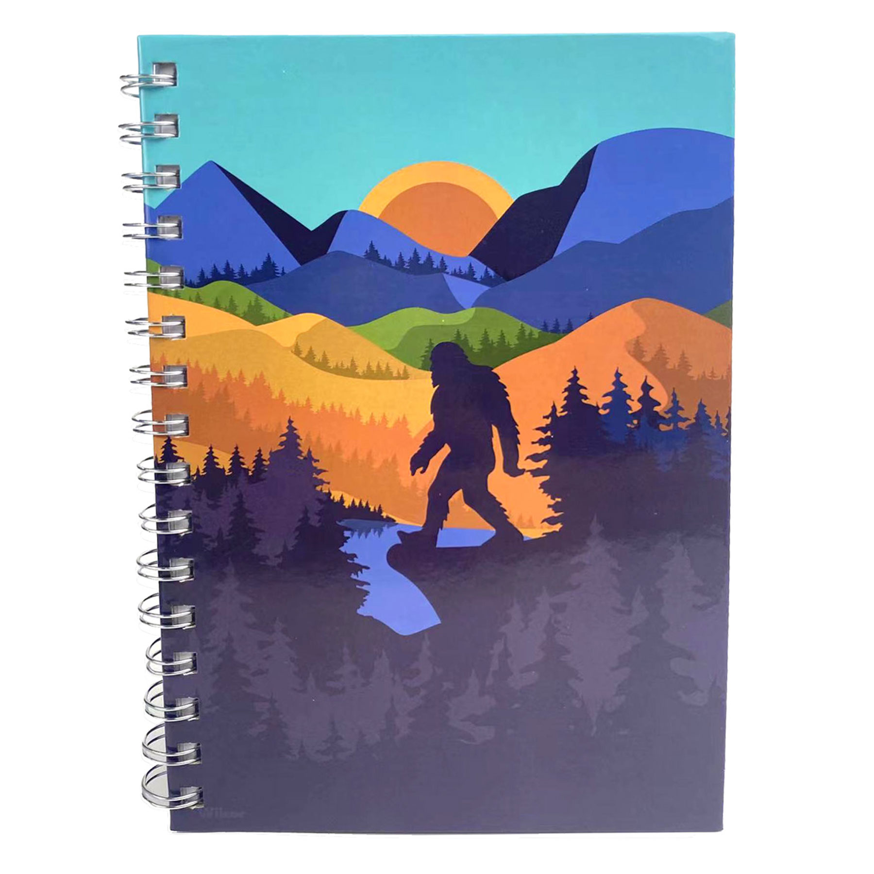
- Big Foot | G10
- Seaside Theme | G25
- Plush | G61
- Wood Gifts | G51
- Impulse
- Plush | G61
- Pens | G55
- Ornaments | G57
- Magnets | G37
- Dream Catchers | G21
- Wind Chimes | G59
- Cute & Fantasy Themed | G23
- Wood Gifts | G51
- Jewelry & Novelties | N17
- Playing Cards| E13
- Keychains| N13
- Vehicles & Die Cast | P29
- Hats & Bandanas | N09
- Souvenirs
- Regional
- Adirondack Souvenirs | GR01
- Big Sur Souvenirs | GR17
- Blue Ridge Mts Souvenirs | GR11
- Catskill Mts Souvenirs | GR05
- Colorado Souvenirs | GR13
- Great Smoky Mts Souvenirs | GR09
- Lake George Souvenirs | GR03
- Maine Souvenirs | GR07
- Texas Souvenirs | GR19
- Yosemite Souvenirs | GR15
- Custom Printed
- Custom Printed Items | CST
- Custom Can Coozie/Cooler | CST03
- Custom Clothing | CST05
- Custom Drinkware | CST07
- Custom Gift | CST09
- Custom Hat | CST11
- Custom Keychains | CST13
- Custom Magnets | CST15
- Custom Souvenirs | CST17
- Custom Ornaments | CST19
- Custom Outdoor Gear | CST21
- Custom Pens | CST23
- Custom Plush Toys | CST25
- Custom Shopping/Tote Bags | CST27
- Custom Stickers | CST29
- Custom Towels | CST31
- Wilcor Promo's | CST41